
Winter storm headed our way
By Ben Olson
Reader Staff
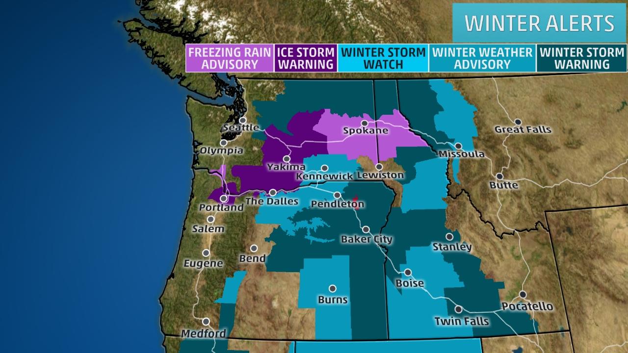
The National Weather Service has issued a winter storm warning for Bonner County from Tuesday evening until Thursday morning.
Courtesy of The Weather Channel.
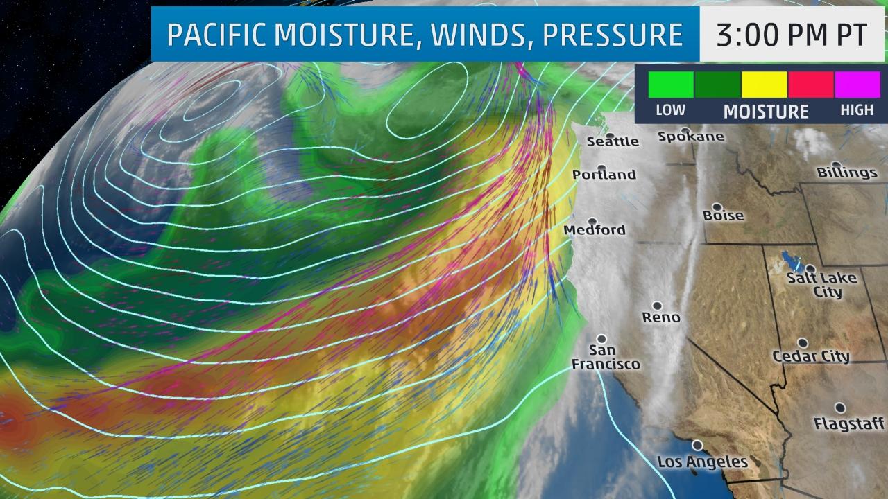
Winter Storm Kori is expected to hit Bonner County Tuesday evening. From 11 p.m. Tuesday night through Thursday morning, temperatures are predicted to warm, creating a potential for freezing rain mixed with sleet. The rain could be heavy at times, with anywhere from .25” to .75” of precipitation predicted.
According to the National Weather Service, Bonner County residents should expect “Areas of heavy ice and snow accumulations … tonight and Wednesday.”
The Bonner County Commissioners called an emergency meeting Tuesday evening to plan for potential office closures due to weather.
“There’s hard pack snow and ice out there now,” said commissioner Glen Bailey. “If we get substantial rain on top of all hard frozen ground, it’s going to create ice.”
Along with freezing rain and icy roads, frozen ground may not disperse heavy rain quick enough, causing a potential for flooding in low lying areas.
Courtesy of The Weather Channel.
The commission passed a motion to notify all non-essential county personnel to check the Bonner County website for possible closures early Wednesday morning. Non-essential personnel includes all county offices not including EMS, Sheriff and Road and Bridge. There was also an understanding that if Lake Pend Oreille School District cancels school county-wide, employees should not come into work.
While freezing rain may cause traffic delays in low elevations, Schweitzer Mountain Resort is expecting three to five inches of snow accumulation over Tuesday night, with a chance of precipitation 100 per cent.


 Coming up this week! Don’t miss Live Music, the Summer Sampler, the Art Party, Monarch Grind, the Sandpoint Renaissance Faire, and more! See the full list of events in the