
Cougar Fire estimated 700 acres Monday, slowly growing
By Lyndsie Kiebert
Reader Staff
The Cougar Fire, located five miles east of Hope and just north of Porcupine Lake, is an estimated 700 acres as of Monday and continuing to burn in rugged terrain.
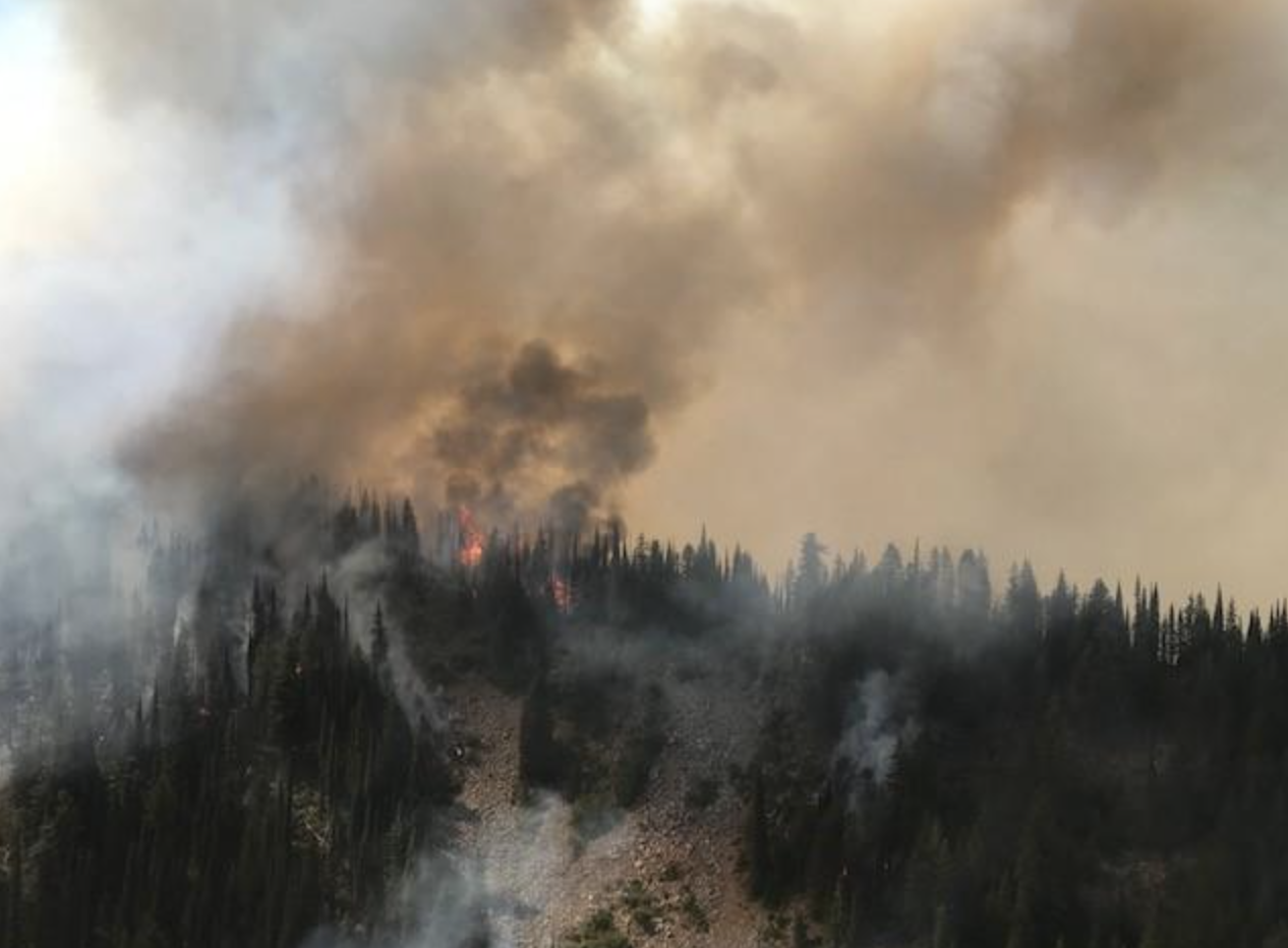
The Cougar Fire burns 5 miles East of Hope. Photo courtesy of InciWeb.
Forest Service officials report that the lightning-caused fire started early in the morning on July 28. Smokejumpers were dispatched but disengaged due to unsafe conditions. As of 6 a.m. on August 5, the Northern Rockies Fire Management Team assumed command of firefighting operations on the Cougar Fire.
USFS reports that current suppression tactics include fuel breaks along the area’s trails and roads, such as the Porcupine ATV trail (trail 642), as well as along Wellington Creek. Dozers and masticators are being used to eliminate brush along these fuel breaks. InciWeb reports 59 fire personnel are currently on the Cougar Fire.
The Porcupine ATV trail is closed as of Monday due to fire suppression efforts. Those accessing the Lightning Creek area in the coming days are advised to travel slowly, keeping increased fire-related traffic in mind.
With hotter temperatures predicted for the next few days, fire activity can be expected to increase.
Updated information on the Cougar Fire is regularly posted on InciWeb at inciweb.nwcg.gov/incident/6081/. Also find the Idaho Panhandle National Forest on Facebook to stay up-to-date on the Cougar Fire and other regional fires.
Cougar Fire map as of 10:30 a.m. Monday:
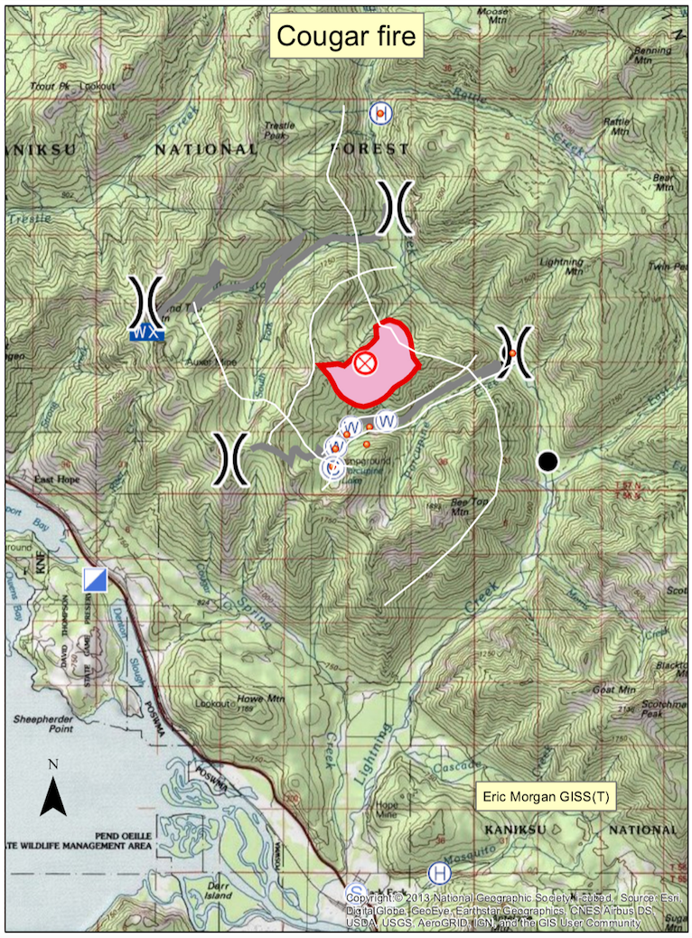
(Click to enlarge)


 Coming up this week! Don’t miss Live Music, the Summer Sampler, the Art Party, Monarch Grind, the Sandpoint Renaissance Faire, and more! See the full list of events in the